
set_goal from Python, or say “go to the kitchen” through the agent - and all three drive the same stack. Start with Using navigation.
Choose your workflow
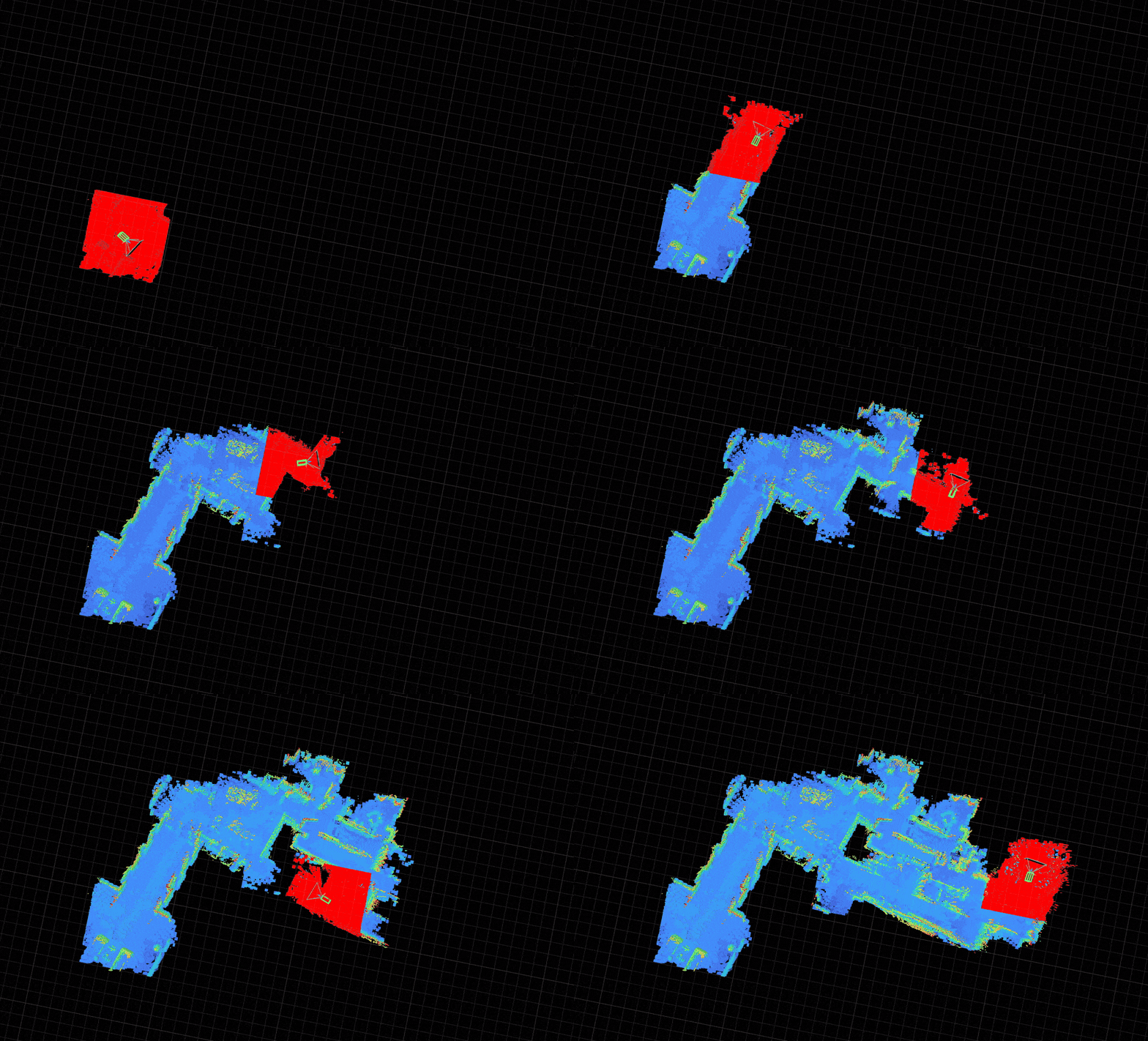
Live column-carving maps are fast and reactive, but odometry drifts over long distances. For spaces you revisit, record once, run pose-graph optimization (PGO) offline, then relocalize against the exported premap at runtime.
Internals (voxel mapper, costmap, planner data flow): How navigation works. For hardware setup, simulation, and the full blueprint list, see the Go2 platform guide.